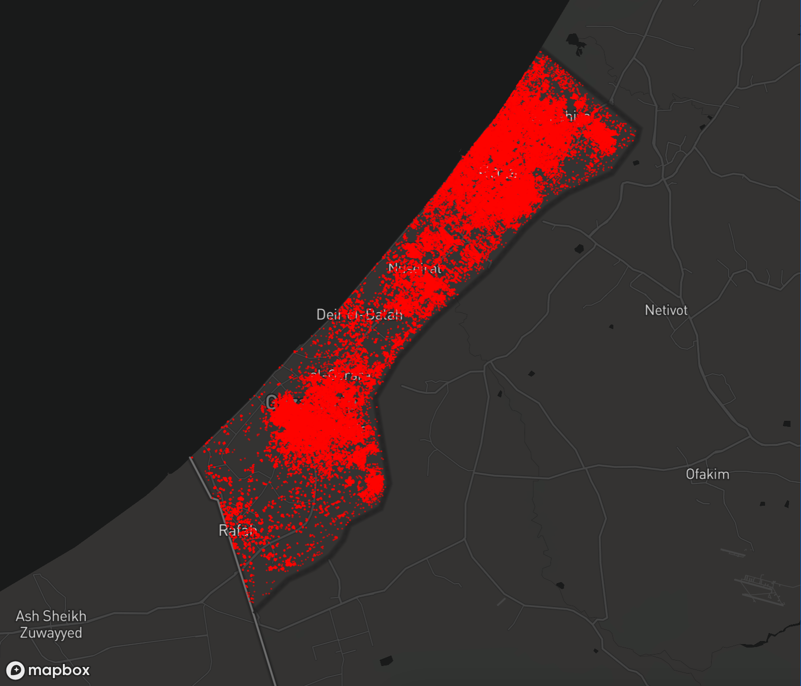
UNOSAT's satellite-based imagery on the Gaza Strip compared images from May 3, 2024, to various dates in 2023 and early 2024 to assess the damage as a result of Israel's ongoing genocide.

This map shows assessment data for the Gaza Strip. Click on a point to view details.
| Region | Destroyed | Severe | Moderate | Possible | Total |
|---|---|---|---|---|---|
| Gaza | 11713 | 5286 | 15163 | 11788 | 43949 |
| Khan Yunis | 11013 | 4970 | 14257 | 11084 | 41324 |
| North Gaza | 8533 | 3851 | 11047 | 8588 | 32019 |
| Deir Al-Balah | 4088 | 1845 | 5292 | 4114 | 15339 |
| Rafah | 1244 | 561 | 1610 | 1251 | 4666 |
| Total | 36591 | 16513 | 47368 | 36825 | 137297 |
| Level | Destroyed | Severe damage | Damaged | Possibly damaged |
|---|---|---|---|---|
| Total | 36591 | 16513 | 47368 | 36825 |